
Tintagel topographic map
Interactive map
Click on the map to display elevation.
About this map
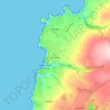
Name: Tintagel topographic map, elevation, terrain.
Location: Tintagel, Cornwall, Engeland, Verenigd Koninkrijk (50.62238 -4.77024 50.67912 -4.69689)
Average elevation: 89 m
Minimum elevation: 0 m
Maximum elevation: 297 m