
Bruce topographic map
Interactive map
Click on the map to display elevation.
About this map
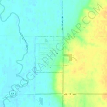
Name: Bruce topographic map, elevation, terrain.
Location: Bruce, Brookings County, South Dakota, United States (44.43359 -96.89676 44.44221 -96.88090)
Average elevation: 502 m
Minimum elevation: 491 m
Maximum elevation: 521 m