
Cajete topographic map
Interactive map
Click on the map to display elevation.
About this map
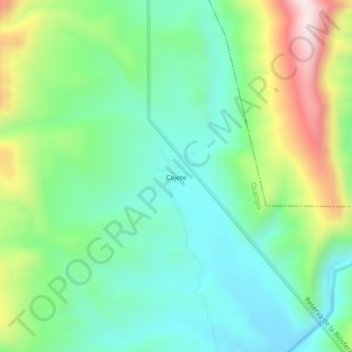
Name: Cajete topographic map, elevation, terrain.
Location: Cajete, Ocampo, Tamaulipas, México (23.04408 -99.44201 23.08408 -99.40201)
Average elevation: 854 m
Minimum elevation: 655 m
Maximum elevation: 1,297 m