
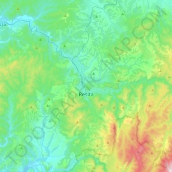
Reșița topographic map
Interactive map
Click on the map to display elevation.
About this map
Name: Reșița topographic map, elevation, terrain.
Location: Reșița, Caraș-Severin, Romania (45.20988 21.79967 45.38787 22.11268)
Average elevation: 381 m
Minimum elevation: 149 m
Maximum elevation: 1,188 m
Other topographic maps
Click on a map to view its topography, its elevation and its terrain.