
Wanda topographic map
Interactive map
Click on the map to display elevation.
About this map
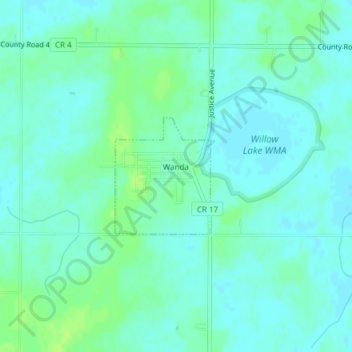
Name: Wanda topographic map, elevation, terrain.
Location: Wanda, Redwood County, Minnesota, 56294, United States (44.31113 -95.21819 44.32012 -95.20792)
Average elevation: 332 m
Minimum elevation: 328 m
Maximum elevation: 340 m