Geolocate

Send topographic map

Click on the map to display elevation.

About this map
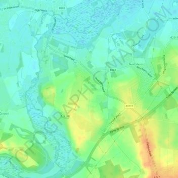
Name: Send topographic map, elevation, terrain.

Location: Send, Guildford, Surrey, England, United Kingdom (51.26676 -0.54921 51.30436 -0.49931)

Average elevation: 32 m

Minimum elevation: 19 m

Maximum elevation: 56 m

Gear up for your next adventure:

🔦LED Torches - LED torches for outdoor use
🦟Heavy Duty Insect Repellent - Essential protection against flies, mozzies, and march flies
🩹Blister Prevention Tape - Apply to friction points before they become painful sores
🪢Paracord - Multi-purpose survival cord
🍳Ultralight Camping Stoves - Boil water quickly for meals using minimal fuel

As an Amazon Associate, this site earns from qualifying purchases at no extra cost to you.