
Make a donation
Gear up for your next adventure:
As an Amazon Associate, this site earns from qualifying purchases at no extra cost to you.
Pinnacle Peak topographic map
Click on the map to display elevation.
Make a donation
Gear up for your next adventure:
As an Amazon Associate, this site earns from qualifying purchases at no extra cost to you.
Pinnacle Peak
Pinnacle Peak is a granite summit located in Scottsdale, Arizona. The peak rises to an elevation of 3,169 feet (966 m). It is located within the 150-acre (61 ha) Pinnacle Peak Park, operated by the City of Scottsdale Park District. Part of the Sonoran Desert, the park is home to a variety of native desert flora and fauna. Hikers utilize a 1.75 mile trail to explore the area, though rock climbing skills are needed to reach the summit.
Make a donation
Gear up for your next adventure:
As an Amazon Associate, this site earns from qualifying purchases at no extra cost to you.
About this map
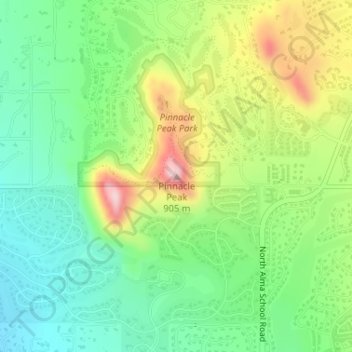
Name: Pinnacle Peak topographic map, elevation, terrain.
Average elevation: 753 m
Minimum elevation: 658 m
Maximum elevation: 915 m
Make a donation
Gear up for your next adventure:
As an Amazon Associate, this site earns from qualifying purchases at no extra cost to you.