
Monterey topographic map
Interactive map
Click on the map to display elevation.
About this map
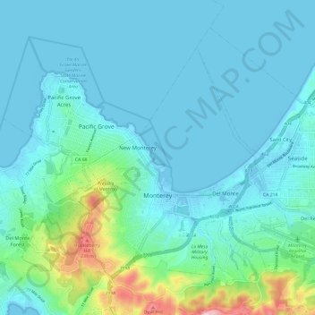
Name: Monterey topographic map, elevation, terrain.
Location: Monterey, Monterey County, Californie, États-Unis (36.57155 -121.92689 36.65156 -121.80811)
Average elevation: 45 m
Minimum elevation: -7 m
Maximum elevation: 299 m