
Salemo topographic map
Interactive map
Click on the map to display elevation.
About this map
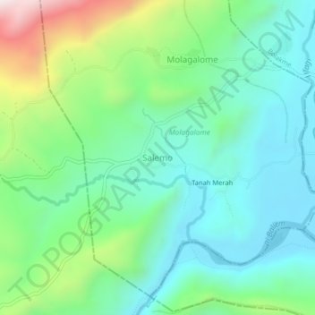
Name: Salemo topographic map, elevation, terrain.
Average elevation: 1,898 m
Minimum elevation: 1,681 m
Maximum elevation: 2,479 m
Other topographic maps
Click on a map to view its topography, its elevation and its terrain.
Trikora
Indonesien > Papua Pegunungan > Jayawijaya
Trikora, Distrik Trikora, Jayawijaya, Papua Pegunungan, Western New Guinea, Indonesien
Average elevation: 4,222 m