
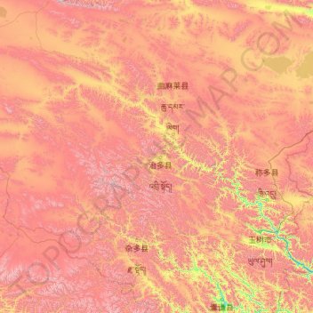
通天河 - Tōngtiān Hé topographic map
Interactive map
Click on the map to display elevation.
About this map
Name: 通天河 - Tōngtiān Hé topographic map, elevation, terrain.
Location: 通天河 - Tōngtiān Hé, འབྲི་སྟོད་རྫོང་治多县, 玉树州, Qinghai, China (33.43530 92.91279 34.75720 96.71980)
Average elevation: 4,650 m
Minimum elevation: 3,748 m
Maximum elevation: 5,926 m
Other topographic maps
Click on a map to view its topography, its elevation and its terrain.