Geolocate

Ulriken topographic map

Click on the map to display elevation.

About this map

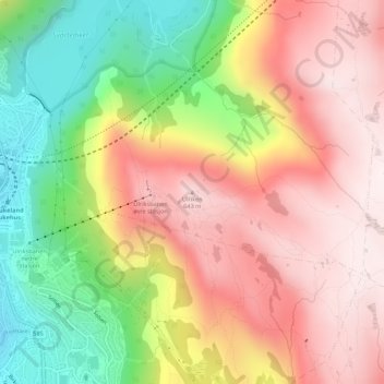
Name: Ulriken topographic map, elevation, terrain.

Location: Ulriken, Bergen, Vestland, 5096, Norway (60.37745 5.38687 60.37755 5.38697)

Average elevation: 374 m

Minimum elevation: 31 m

Maximum elevation: 656 m

Other topographic maps

Click on a map to view its topography, its elevation and its terrain.

Årstad

Norway > Vestland > Bergen

Average elevation: 184 m

Bergenhus

Norway > Vestland > Bergen

Average elevation: 210 m

Gear up for your next adventure:

Altimeter Barometer Watches - Outdoor watches with built-in sensors to track altitude changes and weather shifts
☀️Portable Solar Chargers - High-efficiency panels to hang on your backpack while walking
🛠️Outdoor Repair Kits - Gear repair kits
🔪Camping Knives - Multi-purpose outdoor knives
🧼Biodegradable Soap - Eco-friendly outdoor soap

As an Amazon Associate, this site earns from qualifying purchases at no extra cost to you.