
Pasanajollo topographic map
Interactive map
Click on the map to display elevation.
About this map
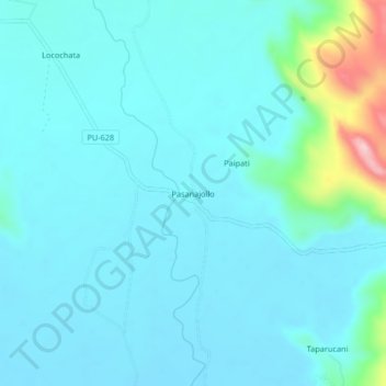
Name: Pasanajollo topographic map, elevation, terrain.
Location: Pasanajollo, Nuñoa, Melgar, Puno, Perú (-14.56063 -70.53772 -14.52063 -70.49772)
Average elevation: 3,964 m
Minimum elevation: 3,931 m
Maximum elevation: 4,182 m
Other topographic maps
Click on a map to view its topography, its elevation and its terrain.