
Elsa topographic map
Click on the map to display elevation.
About this map
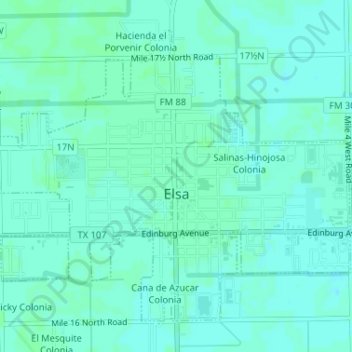
Name: Elsa topographic map, elevation, terrain.
Location: Elsa, Hidalgo County, Texas, 78543, United States (26.28609 -98.00948 26.31014 -97.97706)
Average elevation: 22 m
Minimum elevation: 19 m
Maximum elevation: 25 m