
कर्णाली अञ्चल topographic map
Interactive map
Click on the map to display elevation.
About this map
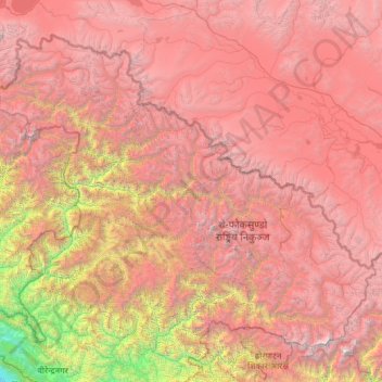
Name: कर्णाली अञ्चल topographic map, elevation, terrain.
Location: कर्णाली अञ्चल, दैलेख, Karnali, Népal (28.80109 81.67523 28.95399 81.82031)
Average elevation: 1,337 m
Minimum elevation: 707 m
Maximum elevation: 2,632 m
Other topographic maps
Click on a map to view its topography, its elevation and its terrain.