
Saxton topographic map
Interactive map
Click on the map to display elevation.
About this map
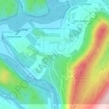
Name: Saxton topographic map, elevation, terrain.
Location: Saxton, Bedford County, Pennsylvania, USA (40.20592 -78.25785 40.21878 -78.23711)
Average elevation: 317 m
Minimum elevation: 240 m
Maximum elevation: 532 m