
普兰镇 topographic map
Interactive map
Click on the map to display elevation.
About this map
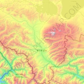
Name: 普兰镇 topographic map, elevation, terrain.
Location: 普兰镇, 普兰县, 阿里地区, 西藏自治区, 中国 (30.00737 80.68585 30.72133 81.48063)
Average elevation: 4,808 m
Minimum elevation: 2,798 m
Maximum elevation: 7,639 m
Other topographic maps
Click on a map to view its topography, its elevation and its terrain.