
Tierras Blancas topographic map
Interactive map
Click on the map to display elevation.
About this map
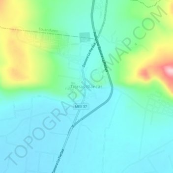
Name: Tierras Blancas topographic map, elevation, terrain.
Location: Tierras Blancas, Zamora, Michoacán, México (20.05627 -102.28871 20.09627 -102.24871)
Average elevation: 1,616 m
Minimum elevation: 1,563 m
Maximum elevation: 1,796 m
Other topographic maps
Click on a map to view its topography, its elevation and its terrain.