
Selmes topographic map
Interactive map
Click on the map to display elevation.
About this map
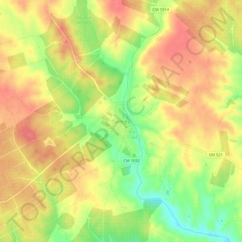
Name: Selmes topographic map, elevation, terrain.
Location: Selmes, Vidigueira, Beja, 7960-167, Portugal (38.12635 -7.77941 38.16635 -7.73941)
Average elevation: 148 m
Minimum elevation: 107 m
Maximum elevation: 174 m
Other topographic maps
Click on a map to view its topography, its elevation and its terrain.
Serra do Mendro
Portugal > Beja > Vidigueira
Serra do Mendro, Vidigueira, Beja, 7220-494, Portugal
Average elevation: 347 m
Mendro
Portugal > Beja > Vidigueira
Mendro, Vidigueira, Beja, 7220-494, Portugal
Average elevation: 330 m