
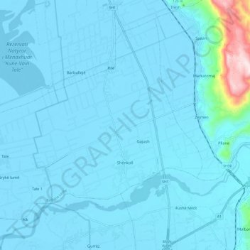
Shënkoll topographic map
Interactive map
Click on the map to display elevation.
About this map
Name: Shënkoll topographic map, elevation, terrain.
Location: Shënkoll, Bashkia Lezhë, Qark Lezha, Nord-Albanien, Albanien (41.66608 19.56950 41.74292 19.68986)
Average elevation: 25 m
Minimum elevation: -7 m
Maximum elevation: 434 m