
Isabe topographic map
Interactive map
Click on the map to display elevation.
About this map
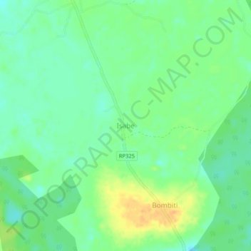
Name: Isabe topographic map, elevation, terrain.
Location: Isabe, Sud-Ubangi, RD Congo (3.12365 19.05369 3.16365 19.09369)
Average elevation: 343 m
Minimum elevation: 330 m
Maximum elevation: 362 m