
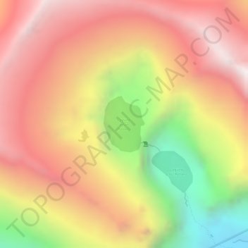
Laguna Jatun Potrero topographic map
Interactive map
Click on the map to display elevation.
About this map
Name: Laguna Jatun Potrero topographic map, elevation, terrain.
Location: Laguna Jatun Potrero, Huantar, Huari, Áncash, Perú (-9.46375 -77.26097 -9.45761 -77.25641)
Average elevation: 4,549 m
Minimum elevation: 3,884 m
Maximum elevation: 4,966 m