
Jearoldstown topographic map
Interactive map
Click on the map to display elevation.
About this map
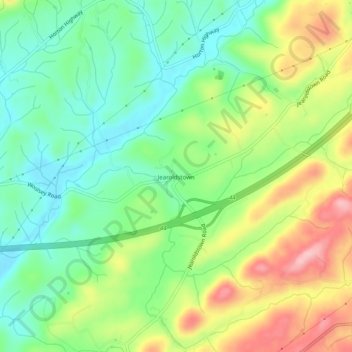
Name: Jearoldstown topographic map, elevation, terrain.
Location: Jearoldstown, Greene County, Tennessee, USA (36.34316 -82.72238 36.38316 -82.68238)
Average elevation: 441 m
Minimum elevation: 377 m
Maximum elevation: 542 m