
Ferrel topographic map
Interactive map
Click on the map to display elevation.
About this map
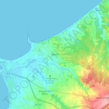
Name: Ferrel topographic map, elevation, terrain.
Location: Ferrel, Peniche, Leiria, 2520-131, Portugal (39.32435 -9.35610 39.40435 -9.27610)
Average elevation: 28 m
Minimum elevation: -2 m
Maximum elevation: 138 m