
Canasmoro topographic map
Interactive map
Click on the map to display elevation.
About this map
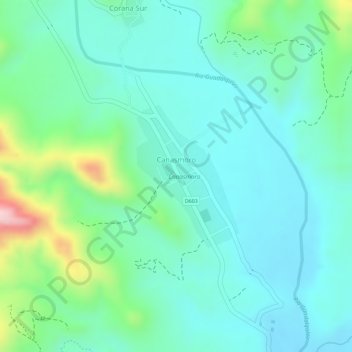
Name: Canasmoro topographic map, elevation, terrain.
Location: Canasmoro, Provincia Méndez, Tarija, Bolivia (-21.35105 -64.76203 -21.34012 -64.75355)
Average elevation: 2,107 m
Minimum elevation: 2,042 m
Maximum elevation: 2,300 m