
Saint-Jean-en-Royans topographic map
Interactive map
Click on the map to display elevation.
About this map
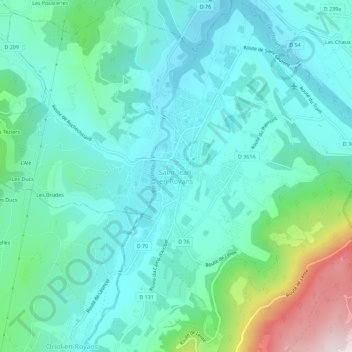
Name: Saint-Jean-en-Royans topographic map, elevation, terrain.
Average elevation: 361 m
Minimum elevation: 199 m
Maximum elevation: 976 m
Dictionnaire topographique du département de la Drôme.