
Lý Sơn topographic map
Interactive map
Click on the map to display elevation.
About this map
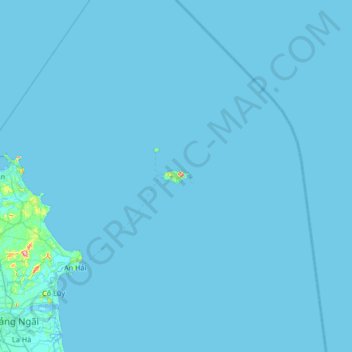
Name: Lý Sơn topographic map, elevation, terrain.
Location: Lý Sơn, Province de Quảng Ngãi, 54400, Viêt Nam (15.06204 108.79900 15.70204 109.43900)
Average elevation: 1 m
Minimum elevation: -2 m
Maximum elevation: 146 m