Geolocate

Cricklade topographic map

Click on the map to display elevation.

About this map

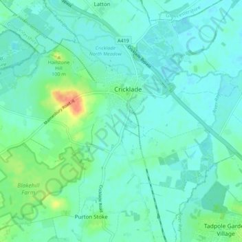
Name: Cricklade topographic map, elevation, terrain.

Location: Cricklade, Wiltshire, England, United Kingdom (51.61575 -1.90474 51.65322 -1.82020)

Average elevation: 85 m

Minimum elevation: 76 m

Maximum elevation: 115 m

Other topographic maps

Click on a map to view its topography, its elevation and its terrain.

Quidhampton

United Kingdom > England > Wiltshire

Average elevation: 71 m

West Amesbury

United Kingdom > England > Wiltshire

Average elevation: 90 m

Gear up for your next adventure:

📍Handheld GPS - GPS devices for hiking and navigation
🐍Snake Gaiters - Protection against snake bites
🎧Bluetooth Outdoor Earbuds - Listen to navigation cues or podcasts during long solo treks
🏕️Camping Gear - Essential camping equipment
📻Handheld UHF Radios - Critical communication for groups in the Australian outback

As an Amazon Associate, this site earns from qualifying purchases at no extra cost to you.