
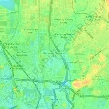
Kampung Chubadak Hulu topographic map
Interactive map
Click on the map to display elevation.
About this map
Name: Kampung Chubadak Hulu topographic map, elevation, terrain.
Location: Kampung Chubadak Hulu, Kuala Lumpur, 51100, Malaysia (3.18129 101.67508 3.22129 101.71508)
Average elevation: 47 m
Minimum elevation: 32 m
Maximum elevation: 63 m