
苍梧县 topographic map
Interactive map
Click on the map to display elevation.
About this map
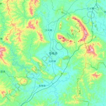
Name: 苍梧县 topographic map, elevation, terrain.
Location: 苍梧县, 梧州市, 广西壮族自治区, 543000, 中国 (23.70923 111.38234 24.02923 111.70234)
Average elevation: 168 m
Minimum elevation: 23 m
Maximum elevation: 723 m
Other topographic maps
Click on a map to view its topography, its elevation and its terrain.