
Kanne topographic map
Interactive map
Click on the map to display elevation.
About this map
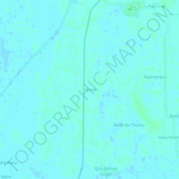
Name: Kanne topographic map, elevation, terrain.
Location: Kanne, Nankana Sahab Tehsil, Pendjab, Pakistan (31.18168 73.59846 31.22168 73.63846)
Average elevation: 188 m
Minimum elevation: 186 m
Maximum elevation: 190 m