
Fruitland topographic map
Interactive map
Click on the map to display elevation.
About this map
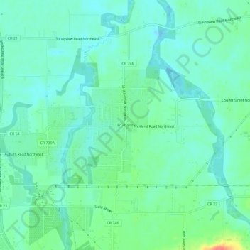
Name: Fruitland topographic map, elevation, terrain.
Location: Fruitland, Marion County, Oregon, 97317, United States (44.92095 -122.95065 44.96095 -122.91065)
Average elevation: 64 m
Minimum elevation: 50 m
Maximum elevation: 108 m