
Bandipur topographic map
Interactive map
Click on the map to display elevation.
About this map
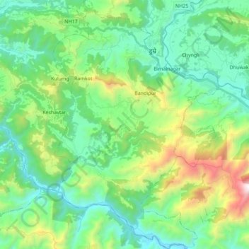
Name: Bandipur topographic map, elevation, terrain.
Location: Bandipur, तनहुँ, Gandaki, 00000, Népal (27.84264 84.34249 27.99457 84.45789)
Average elevation: 698 m
Minimum elevation: 233 m
Maximum elevation: 2,052 m
Other topographic maps
Click on a map to view its topography, its elevation and its terrain.