
Northwood topographic map
Interactive map
Click on the map to display elevation.
About this map
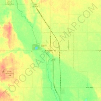
Name: Northwood topographic map, elevation, terrain.
Location: Northwood, Worth County, Iowa, United States (43.40412 -93.26104 43.48412 -93.18104)
Average elevation: 373 m
Minimum elevation: 346 m
Maximum elevation: 395 m