
Bandera topographic map
Interactive map
Click on the map to display elevation.
About this map
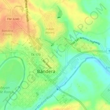
Name: Bandera topographic map, elevation, terrain.
Location: Bandera, Bandera County, Texas, USA (29.72839 -99.07181 29.73349 -99.06762)
Average elevation: 383 m
Minimum elevation: 364 m
Maximum elevation: 403 m