
Marconi Ponds Nature Reserve topographic map
Interactive map
Click on the map to display elevation.
About this map
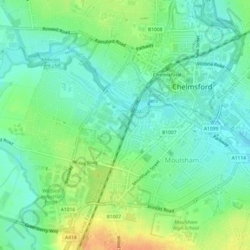
Name: Marconi Ponds Nature Reserve topographic map, elevation, terrain.
Average elevation: 35 m
Minimum elevation: 21 m
Maximum elevation: 59 m
Other topographic maps
Click on a map to view its topography, its elevation and its terrain.
Great Waltham
United Kingdom > England > Essex > Chelmsford > Ford End
Great Waltham, Ford End, Chelmsford, Essex, England, United Kingdom
Average elevation: 63 m