
Bayview topographic map
Interactive map
Click on the map to display elevation.
About this map
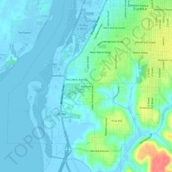
Name: Bayview topographic map, elevation, terrain.
Location: Bayview, Humboldt County, California, 95564, USA (40.75263 -124.20395 40.79263 -124.16395)
Average elevation: 14 m
Minimum elevation: -6 m
Maximum elevation: 69 m