
Findelgletscher topographic map
Interactive map
Click on the map to display elevation.
About this map
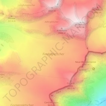
Name: Findelgletscher topographic map, elevation, terrain.
Location: Findelgletscher, Schwarzgrat, Täsch, Visp, Wallis, 3929, Schweiz (45.98066 7.82457 46.01170 7.90844)
Average elevation: 3,268 m
Minimum elevation: 1,838 m
Maximum elevation: 4,182 m
Other topographic maps
Click on a map to view its topography, its elevation and its terrain.