
Holzweiler topographic map
Interactive map
Click on the map to display elevation.
About this map
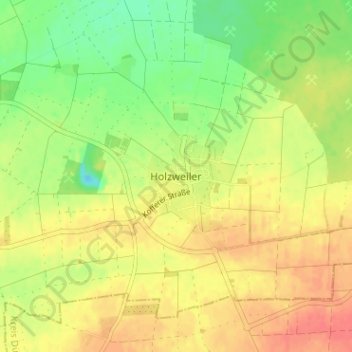
Name: Holzweiler topographic map, elevation, terrain.
Average elevation: 96 m
Minimum elevation: 69 m
Maximum elevation: 117 m
Other topographic maps
Click on a map to view its topography, its elevation and its terrain.
Erkelenz
Duitsland > Noordrijn-Westfalen > Kreis Heinsberg > Erkelenz
Erkelenz, Kreis Heinsberg, Noordrijn-Westfalen, 41812, Duitsland
Average elevation: 83 m