
La Asunta topographic map
Interactive map
Click on the map to display elevation.
About this map
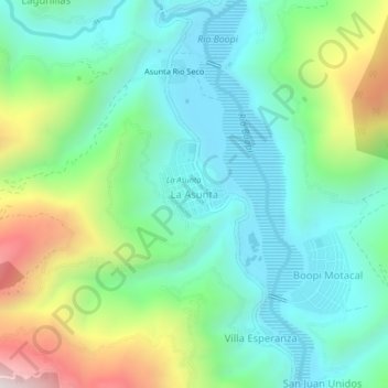
Name: La Asunta topographic map, elevation, terrain.
Location: La Asunta, Provincia Sud Yungas, La Paz, Bolivia (-16.14642 -67.21579 -16.10642 -67.17579)
Average elevation: 959 m
Minimum elevation: 669 m
Maximum elevation: 1,684 m