
Castle topographic map
Interactive map
Click on the map to display elevation.
About this map
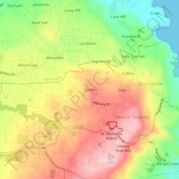
Name: Castle topographic map, elevation, terrain.
Location: Castle, Diamond Corner, Saint Peter, BB25012, Barbados (13.26524 -59.61270 13.30524 -59.57270)
Average elevation: 133 m
Minimum elevation: -1 m
Maximum elevation: 252 m