
Tala topographic map
Interactive map
Click on the map to display elevation.
About this map
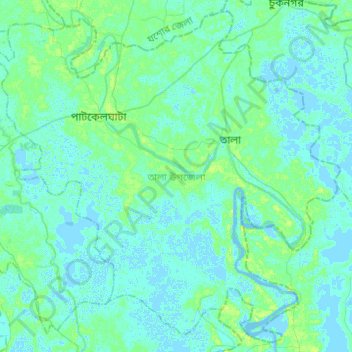
Name: Tala topographic map, elevation, terrain.
Location: Tala, Satkhira District, Khulna Division, Bangladesh (22.62147 89.08786 22.83539 89.33419)
Average elevation: 3 m
Minimum elevation: -4 m
Maximum elevation: 11 m