
Kayabwe topographic map
Interactive map
Click on the map to display elevation.
About this map
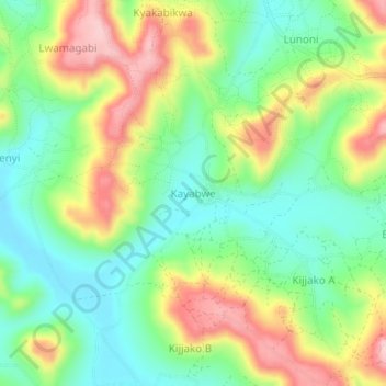
Name: Kayabwe topographic map, elevation, terrain.
Location: Kayabwe, Rakai, Central Region, Uganda (-0.54783 31.20371 -0.50783 31.24371)
Average elevation: 1,322 m
Minimum elevation: 1,243 m
Maximum elevation: 1,441 m