
Inn topographic map
Interactive map
Click on the map to display elevation.
About this map
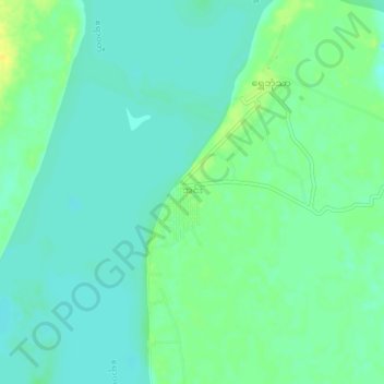
Name: Inn topographic map, elevation, terrain.
Location: Inn, Katha District, Sagaing, Myanmar (23.90625 96.25883 23.94625 96.29883)
Average elevation: 90 m
Minimum elevation: 82 m
Maximum elevation: 104 m