
Turalei topographic map
Interactive map
Click on the map to display elevation.
About this map
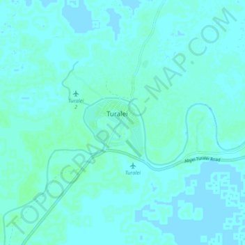
Name: Turalei topographic map, elevation, terrain.
Location: Turalei, Warrap, South Sudan (9.05053 28.39217 9.13053 28.47217)
Average elevation: 403 m
Minimum elevation: 401 m
Maximum elevation: 406 m