
Craig topographic map
Interactive map
Click on the map to display elevation.
About this map
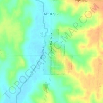
Name: Craig topographic map, elevation, terrain.
Location: Craig, Burt County, Nebraska, United States of America (41.78049 -96.36771 41.79242 -96.35662)
Average elevation: 398 m
Minimum elevation: 380 m
Maximum elevation: 424 m