
Woomargama topographic map
Interactive map
Click on the map to display elevation.
About this map
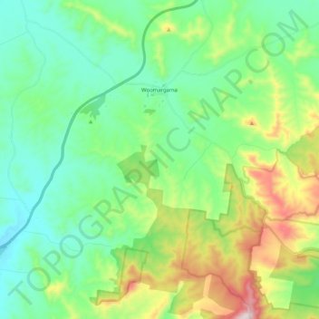
Name: Woomargama topographic map, elevation, terrain.
Average elevation: 404 m
Minimum elevation: 226 m
Maximum elevation: 871 m
Other topographic maps
Click on a map to view its topography, its elevation and its terrain.
Woomargama
Australia > New South Wales > Woomargama
Woomargama, Greater Hume Shire Council, New South Wales, 2644, Australia
Average elevation: 341 m