
Goetsenhoven topographic map
Interactive map
Click on the map to display elevation.
About this map
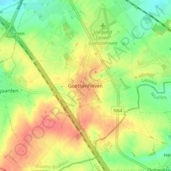
Name: Goetsenhoven topographic map, elevation, terrain.
Location: Goetsenhoven, Tienen, Vlaams-Brabant, Vlaanderen, 3300, België (50.74764 4.92938 50.78764 4.96938)
Average elevation: 72 m
Minimum elevation: 44 m
Maximum elevation: 100 m