
Ermitage topographic map
Interactive map
Click on the map to display elevation.
About this map
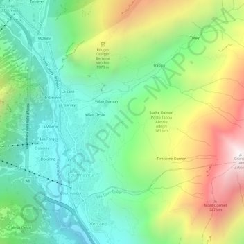
Name: Ermitage topographic map, elevation, terrain.
Location: Ermitage, Courmayeur, Aostatal, 11013, Italien (45.77604 6.96267 45.81604 7.00267)
Average elevation: 1,660 m
Minimum elevation: 1,073 m
Maximum elevation: 2,751 m