
Perkinsville topographic map
Interactive map
Click on the map to display elevation.
About this map
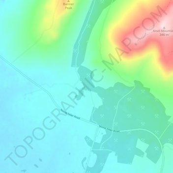
Name: Perkinsville topographic map, elevation, terrain.
Location: Perkinsville, Nome, Alaska, United States of America (64.53056 -165.43500 64.57056 -165.39500)
Average elevation: 78 m
Minimum elevation: 10 m
Maximum elevation: 340 m