Geolocate

Mountnessing topographic map

Click on the map to display elevation.

About this map

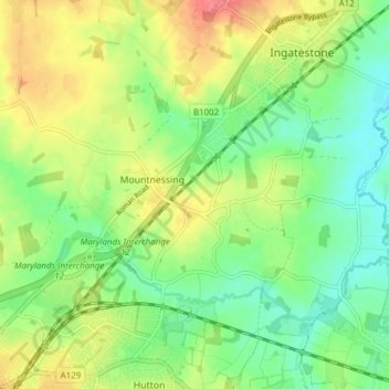
Name: Mountnessing topographic map, elevation, terrain.

Location: Mountnessing, Brentwood, Essex, England, United Kingdom (51.63434 0.32706 51.67293 0.40363)

Average elevation: 63 m

Minimum elevation: 38 m

Maximum elevation: 98 m

Gear up for your next adventure:

🧭Global Orienteering Compass - High-precision liquid-filled compasses for accurate map reading and navigation
📕Hiking Guide Books - Guides for hiking trails
🧦Hiking Socks - Comfortable socks for long hikes
🪑Portable Backpacking Chairs - A comfortable seat for studying maps at the end of the day
🆘Personal Locator Beacons (PLB) - Satellite emergency beacons for life-saving help in areas with no mobile coverage

As an Amazon Associate, this site earns from qualifying purchases at no extra cost to you.